Explore detailed maps of ancient settlements and cemeteries, the repositories of the human physical record, synthesized from excavation reports and surveys in central Athens.
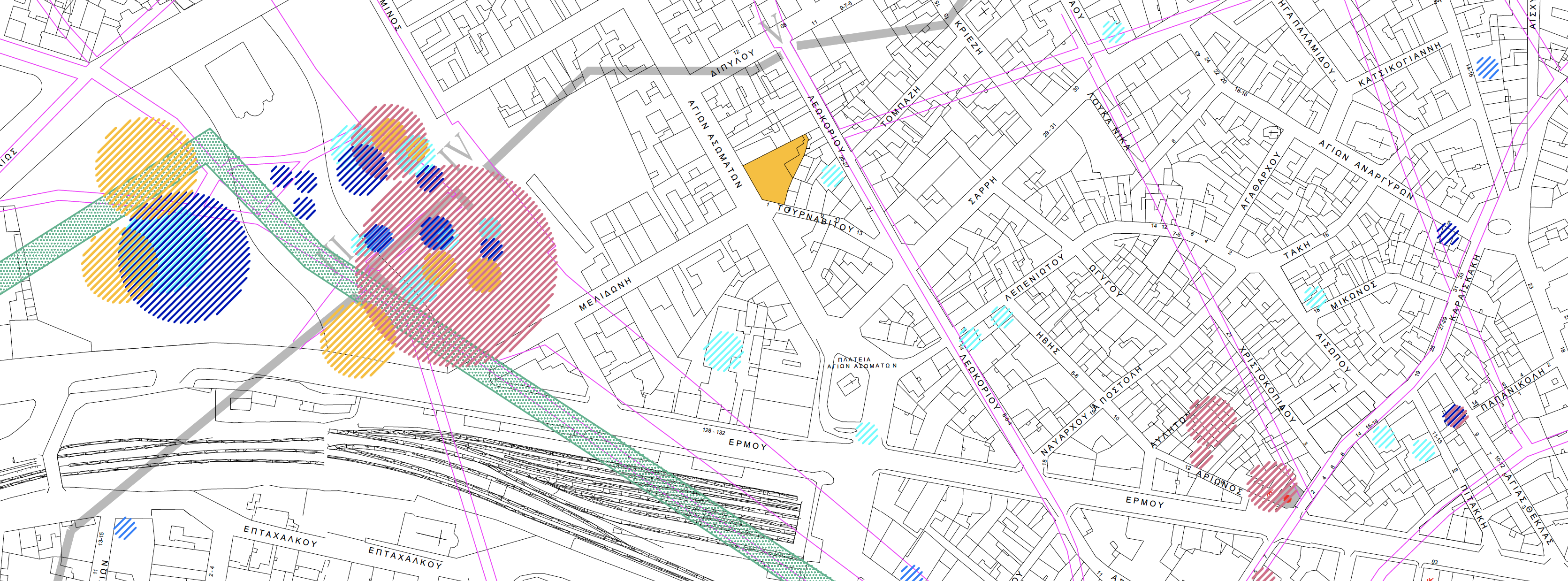
Submycenaean - Geometric (PG - EG/MG - LG) - Archaic Periods Topographic Plan
Submycenaean Period and Distance of the Old and New Cemeteries from the Acropolis
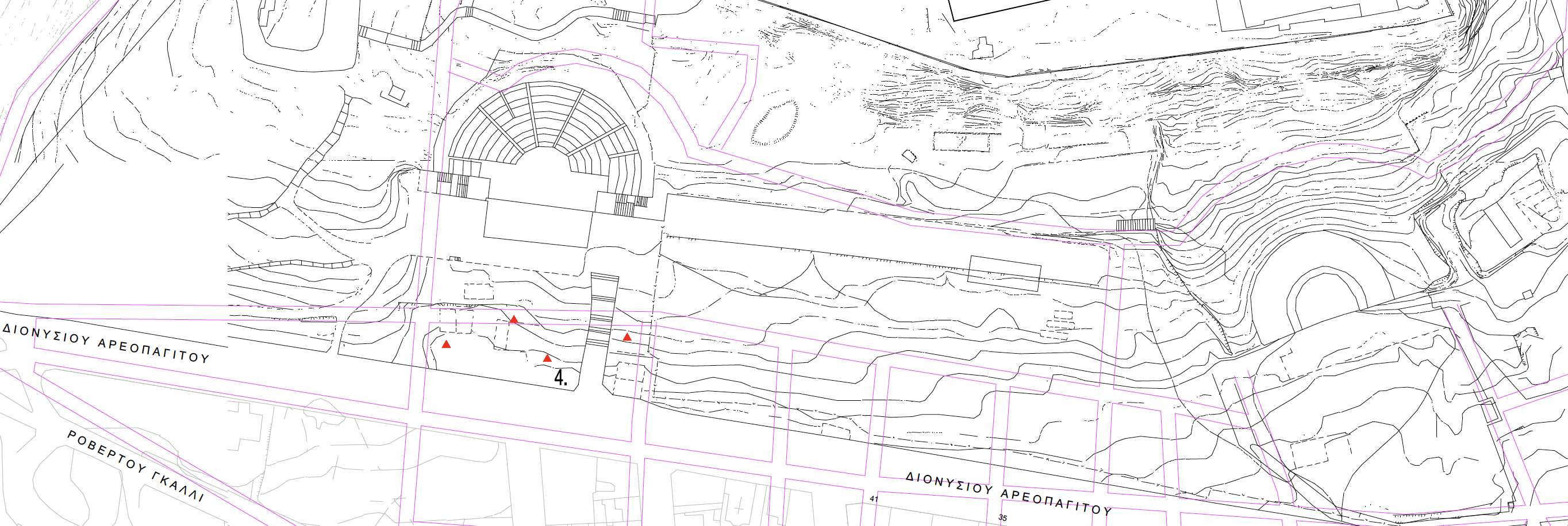
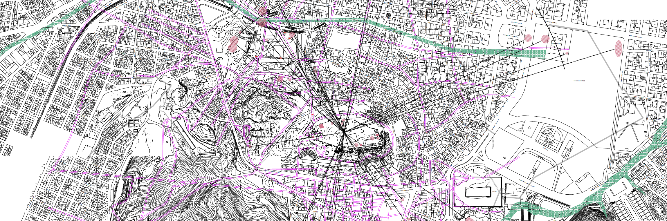
Area VIII: Acropolis (Protogeometric Period)